We deploy a 24-channel seismograph with 4.5 Hz geophones spaced at 5-meter intervals across Cape Coral lots. The array captures surface wave dispersion down to 30 meters and deeper. Signal stacking runs 15 to 20 minutes per spread. We correlate raw phase velocity with MASW profiles and existing SPT logs from the USGS database. Cape Coral sits on a thin sand veneer over the Tamiami Formation — a limestone and sandstone sequence that masks velocity inversions. These inversions fool standard Vs30 estimates. Our crew runs parallel seismic refraction lines along the canal grid to flag blind bedrock highs before the final site class call. Every dataset is tied to DGPS coordinates and reduced against the Florida Permanent Reference Network.
A 160 m/s velocity inversion at 8 meters shifted the design spectrum upward by 18 percent — standard Vs30 alone missed it entirely.
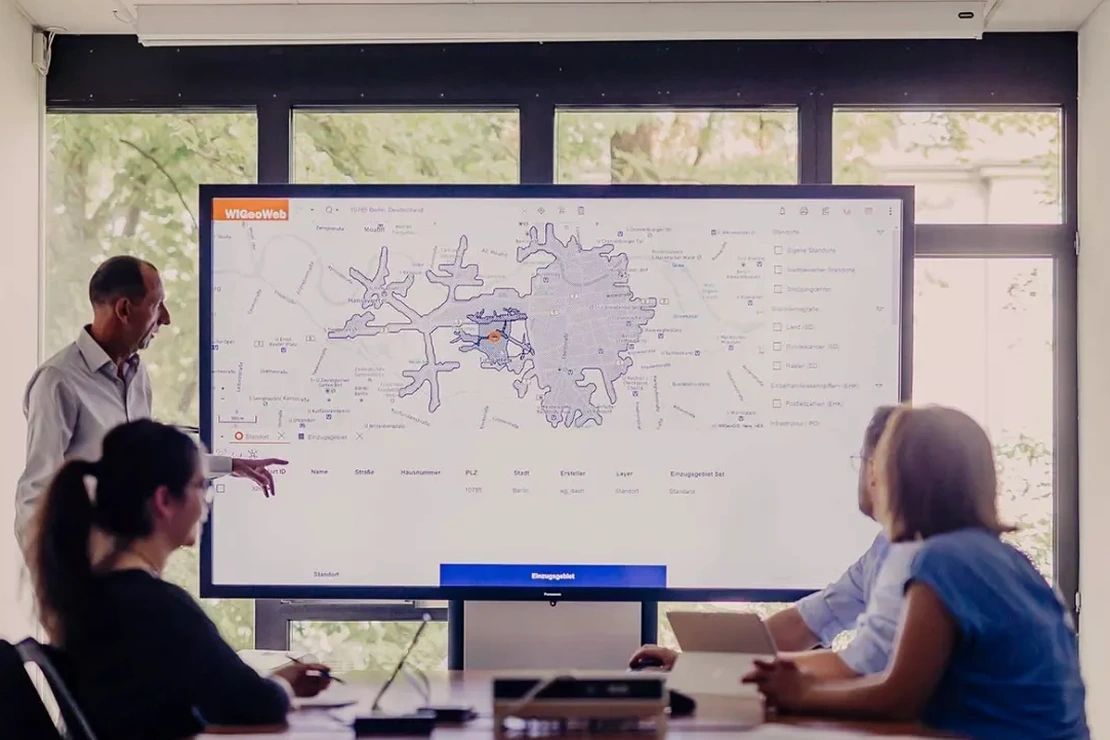
Scope of work in Cape Coral
Typical technical challenges in Cape Coral
Many Cape Coral parcels sit on dredge fill placed over karst limestone. The fill varies from clean sand to silty sand with shell fragments. Its density is erratic — we have logged SPT N-values of 3 and 28 within 20 meters horizontally. Shallow groundwater at 1.2 to 1.8 meters depth keeps the fill saturated year-round. Combine loose saturated sand with a limestone trough that amplifies short-period motion, and liquefaction becomes a credible hazard even at the 475-year return period. We screen every zone using SPT data and the NCEER simplified procedure. When the factor of safety drops below 1.2, the report flags it and recommends either ground improvement or a stone column treatment plan before foundation design proceeds.
Our services
Cape Coral projects require more than a generic site class lookup. Our field campaigns deliver the two products that matter for structural design here.
Vs30 Mapping & Site Classification
MASW and ReMi acquisition across the buildable area. We process dispersion curves, invert for 1D Vs profiles, and compute Vs30 per ASCE 7-22. The deliverable includes a site class map overlaid on the survey plat and a response spectrum envelope ready for the structural EOR.
Liquefaction Potential Evaluation
Cone penetration testing paired with downhole Vs measurements in the upper 20 meters. We apply the NCEER simplified procedure, correct fines content from adjacent grain-size lab data, and compute factor of safety at 1.0-meter intervals. Results are tabulated against the USGS probabilistic ground motion for the site coordinates.
Quick answers
How long does a seismic microzonation field campaign take in Cape Coral?
A standard residential or low-rise commercial lot takes one field day for MASW plus ReMi acquisition. We add a half-day if CPT or downhole seismic is required. The processing and report phase runs five to seven business days. Larger subdivisions with multiple spread lines may extend to three or four field days.
What triggers a Site Class F determination in this part of Florida?
Site Class F requires a site-specific ground motion analysis per ASCE 7-22 Section 20.3. In Cape Coral, the most common trigger is liquefiable sand lenses with SPT N-values below 5 and a factor of safety under 1.0 at the design earthquake level. Karst cavities detected by resistivity or CPT test profiling can also push the classification to F when the roof thickness is less than three times the cavity height.
How deep do you investigate for a typical Cape Coral site?
We target 30 meters below foundation grade for Vs30 determination. When the Tamiami Formation limestone appears shallower than 15 meters, we extend the array to 45 meters to capture the full impedance contrast between the sand, limestone, and underlying Hawthorn Group sediments. The extra depth resolves the velocity inversion that standard 30-meter surveys miss.
What is the cost range for a seismic microzonation study in Cape Coral?
Do you provide the response spectrum directly usable by the structural engineer?
Yes. We deliver a site-specific design response spectrum in both tabular and graphical format, scaled to the USGS uniform hazard spectrum for the Cape Coral coordinates. The spectrum follows ASCE 7-22 Chapter 11 and 21 conventions, including the MCE_R and design-level curves. We also supply the corresponding acceleration time histories if nonlinear time-history analysis is planned.